Trail Name: Mount Tamalpais Summit Loop
Date Hiked: 10/31/20
Area: San Francisco Bay Area, North Bay
Mileage: 13.3 total
Elevation Gain: 2,349 ft
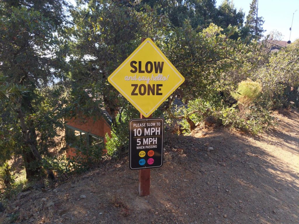
NOTE: This hike is one long fire road & may be best for bikers and runners. The directions on AllTrails are wrong, follow this instead: Traveling from San Francisco, take the 101 to Mill Valley, take exit 447 Tiburon Blvd and continue on E Blithedale Ave toward Mill Valley until you reach the trailhead, which offers multiple turnoffs to park in.
Emily and I were really excited about this hike and were building up to it over several weeks, slowly increasing our mileage from 6 to 9 to 11 miles each trail. Given that the trail is 13.3 miles, by the time we finished we felt really accomplished, but it wasn’t a particularly inspiring trail. But let’s get into it.
The trail starts in a beautiful forest in the bottom of a gulch, and we made full use of the scenery by enjoying breakfast at the start of the trail. We’ve found that by eating breakfast at the trailhead we get on the trail quicker and we really get hyped up for the trail by enjoying the scenery before we set out. There were a decent number of turnoffs for parking, and just some beautiful forest scenery
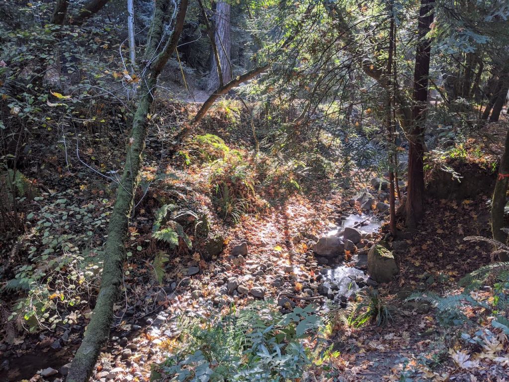
The scenery while enjoying some vegan cinnamon oats at the trailhead – not too shabby!
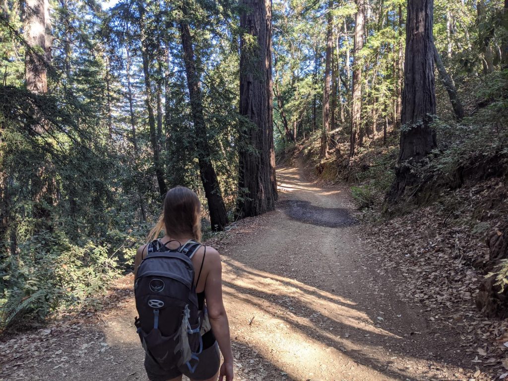
The trail (a fire road) winds through the woods up a steady grade until you begin to peak out of the forest and into the sun. Once you’re in the sun, you’re pretty much in it the rest of the way until you make it to the other side of the mountain. There are periodic areas of shade as you enter a few small redwood groves along the way, as well as clusters of other trees, but generally the trail is very exposed.
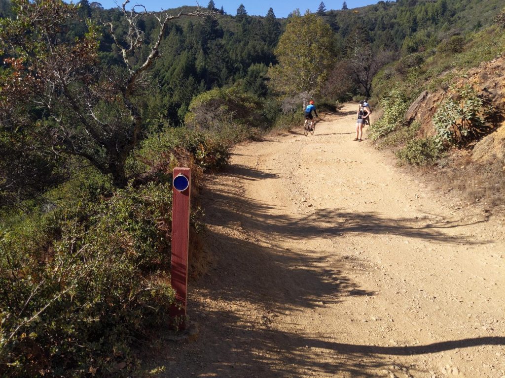
The trail looks like this much of the way.
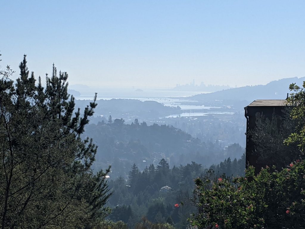
At about 5 miles in you reach the West Point Inn, which I imagine would be a FANTASTIC rest point when it reopens for breakfasts again. There are plenty of picnic tables around the inn and gorgeous views of the SF Skyline and East Bay on clear days.
Intersection near the Inn 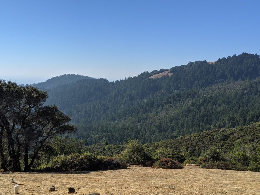
Open area near the Inn 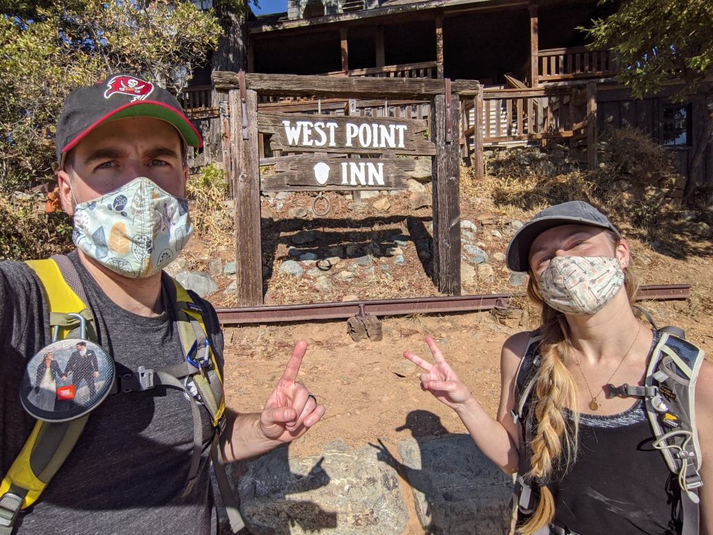
West Point Inn Hooray! 
Views of the Pacific Ocean near the Inn
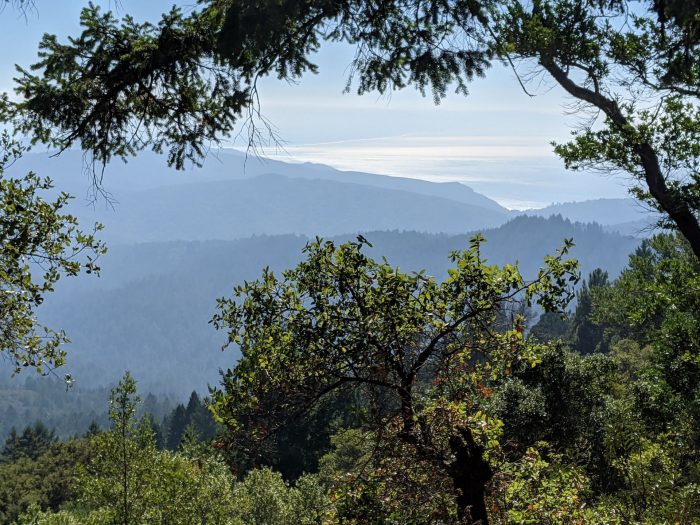
As you leave the Inn and continue up toward the peaks, you’ll get good views of the West, Middle, and East peak, but you’ll need to take the clearly marked side trails to summit each peak. If you just follow this loop you will not reach the top of any of the peaks. You’ll eventually top out as you reach the road to between the Middle and East peaks, and then start down the other side. This opens you up to new views and if you started in the morning, you may catch a bit of shade on the other side of the mountain.
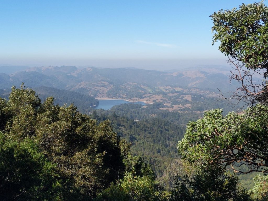
The new view after heading down the other side of the mountain.
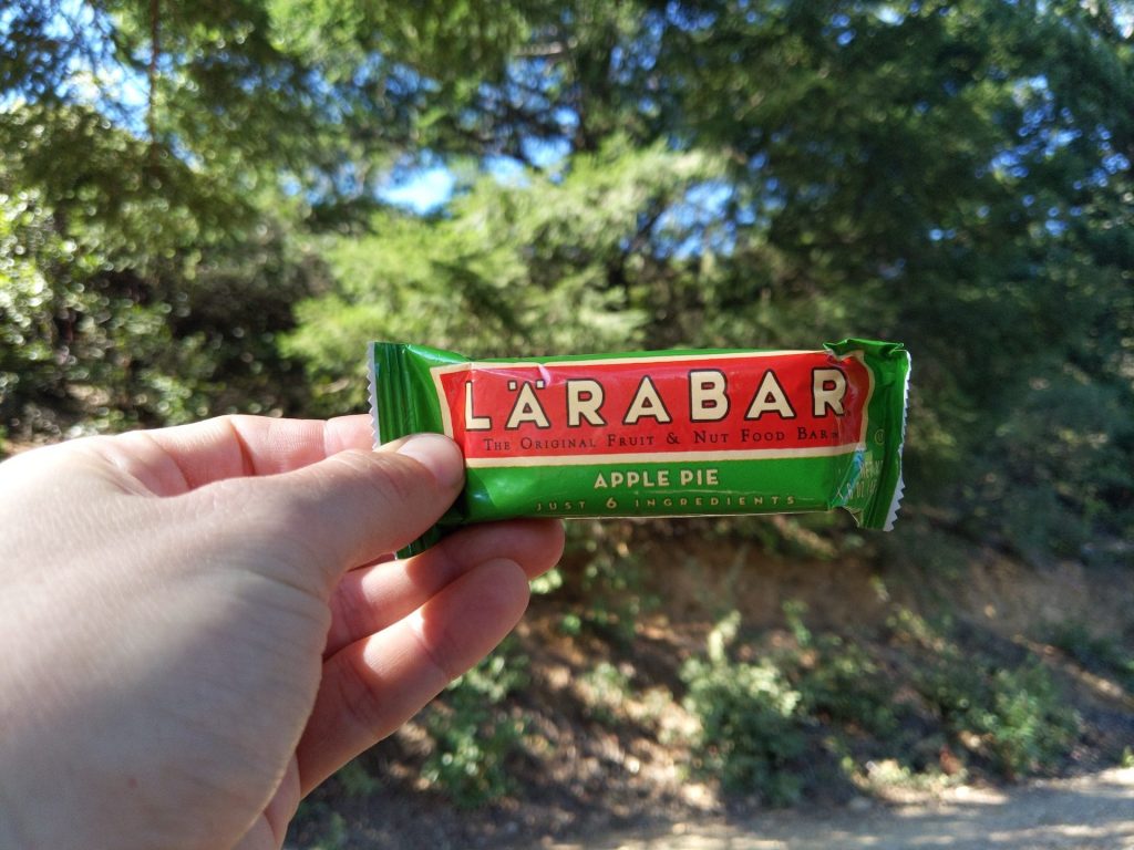
We caught some shade on the way down and stopped for one of our favorite vegan trail bars! The Apple Pie flavor is totally on point and delicious!
At Mile 7.7 the trail ducks off the fire road and heads down an incredibly steep, rocky gully for a few tenths of a mile. We slid around multiple times on dead leaves and rocks, even with our hiking boots, but we took it slow and were thankful to be back on the fire road after some tense moments.
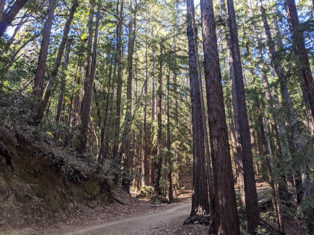
As we rounded the mountain on our way to complete the loop we started to encounter a handful of small redwood groves, which provided some great shade and a nice change of pace from the open exposure of the rest of the trail. Although these groves are not nearly as majestic as something like Purisima Reserve, Raymundo Trail, or Muir Woods, they were our favorite part of the trail. No matter the size, there’s just something special about redwoods and we’ll never get tired of them.

After a long 13.3 mile trail that turned out to be a very exposed fire road, we were glad to get off the trail and home to some fantastic Beyond Beef Nachos, but before we left we found a nice spot by a creek to have a late lunch. Overall, we’d leave this trail to the bikers and runners, but it was nice to be in the woods for a day!