Trail Name: Mitchell Creek to Diablo Summit
Date Hiked: 12/5/20
Area: San Francisco Bay Area, East Bay
Mileage: 13.1 total
Elevation Gain: 3,585 ft
NOTE: If you live the Bay Area and like to hike, it’s a right of passage to do Mt. Diablo. It’s the tallest mountain in the immediate bay area and offers fantastic views. If this hike isn’t your cup of tea, there are plenty of alternatives to get you up and around the mountain.
For Emily and I, 13 miles was pretty ambitious at the time we did this, and 3,500ft+ of elevation gain was something we had not done in awhile, so we prepared for this one carefully.
To prepare for Mt. Diablo, we worked our way up from hikes that were 9 miles to hikes that were just under 15 miles. We also gradually upped our average elevation gain from 1,500 to 2,000 to 2,500+. On the day of the hike we made sure to eat lots of oats for breakfast at the trailhead, packed 2 liters of water each, and brought one head lamp (the sunset was around 5pm).
It was crisp and cool when we set off from Mitchell Canyon Parking Lot ($6 parking fee payable at a kiosk) and we took the loop clockwise. By taking the loop clockwise, we wouldn’t have to do any more elevation gain after we reached the summit (going counter-clockwise would have meant we would have climbed back up to Eagle’s Peak on the way down).
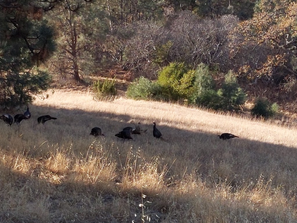
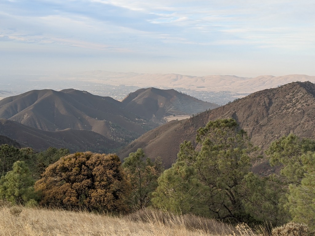
The parking lot was full and we started following a big group of teenagers on the trail. Pretty quickly we started ascending and were greeted by a whole flock of wild turkeys, it was a pretty cool way to start the hike. As the trail continued on, we eventually passed the teenagers as someone in their group had had enough of the incline and decided to end the hike. We paced ourselves, knowing that the incline was going to continue for about 7 miles. As we continued up through a sparse forest, the views quickly started to open up and the trail led us out onto a rocky outcrop. After only enduring the hill for maybe 30 minutes, the view of the quarry we had just hiked out were grand and kept us interested as we made our way up.
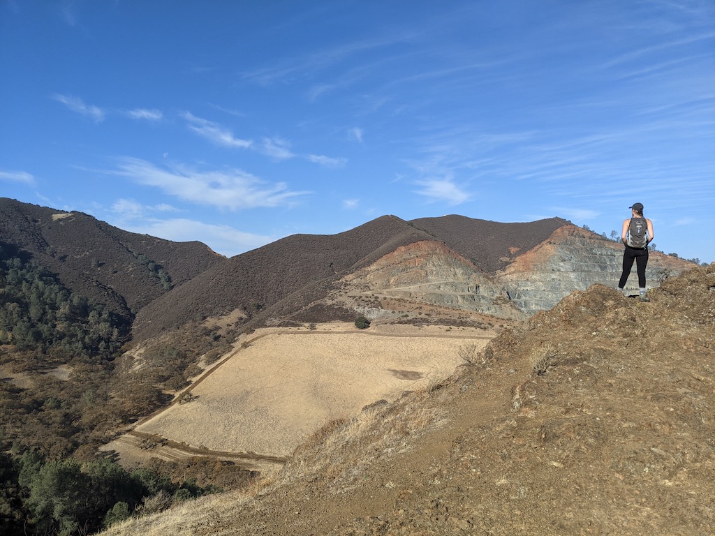
It’s good that the trail soon gets above it all and opens up to views because it distracts from the relentless incline. As you navigate chaparral and some long switchbacks (don’t cut them off like the folks behind us!) you eventually leak out to an amazing view from a rocky ledge. After a long climb it’s a great spot to take a break and soak in the rolling hills and peaks on the other side of the mountain.
This ledge is right off the trail, definitely a great break spot.
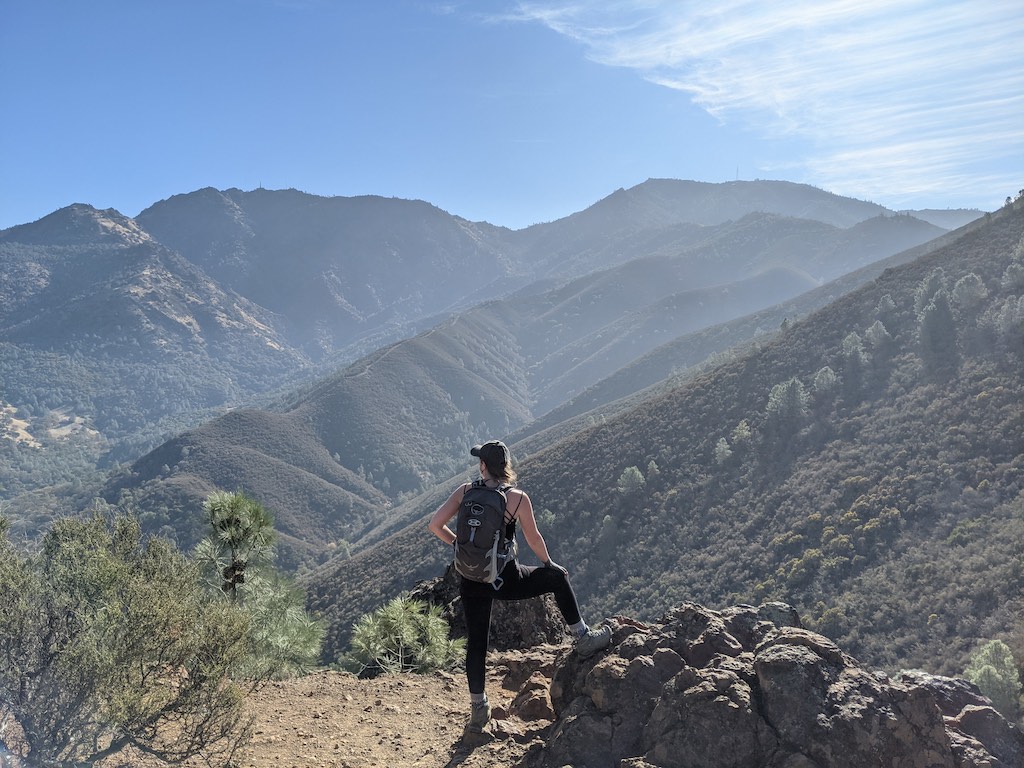
After this ledge, the hills started to get to Emily and I and we slowed down a bit, in need of more frequent water breaks. We plodded onward to Eagle Peak, crossing a few other good view points along the way. Eagle Peak offers AMAZING 360 degree views and it’s a perfect spot to take a snack break or a lunch. If you’re not feeling the hike by this point, it’s also a great spot to turn back before another few miles of uphill. Eagle Peak really is a destination by itself.
Since we were hiking in the time of Covid, we continued onward and elected to take lunch somewhere else less crowded. After Eagle Peak there’s a descent on a razor sharp ridge that provided a bit of exhilaration. It’s so easy to lose the path here, so pay attention to where you’re going. We lost the path and were led straight to a cliff. We ended up having to scramble down a steep rocky slope back to the trail.
I have to admit that the descent was maddening, as soon as we bottomed out we just started climbing again all the way back up to our original height and beyond. Maybe it was this psychological blow that really got to us because we soon had to stop as the trail became really thin as we headed up a ridge full of manzanita.
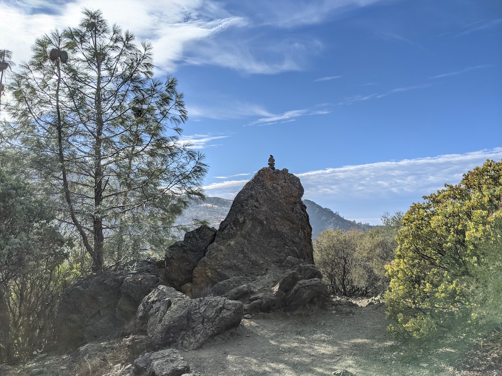
A cairn near our lunch spot just after Eagle Peak
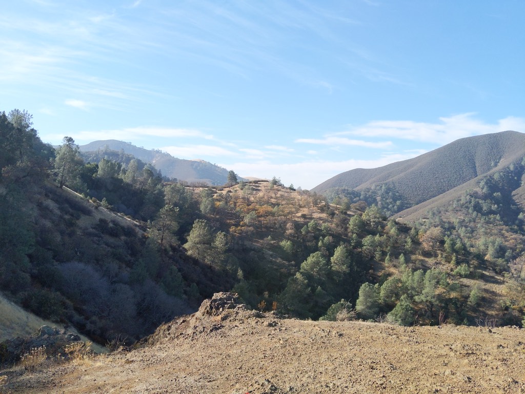
When we got up from our break we slowed down even more and resigned ourselves to making it up the hill. The view of Diablo in the foreground gave us hope that we would soon reach our destination, but after a couple of really cool bald ridges that provided great views, it became apparent that we would have to wind our way to the backside of the mountain to get to the summit.
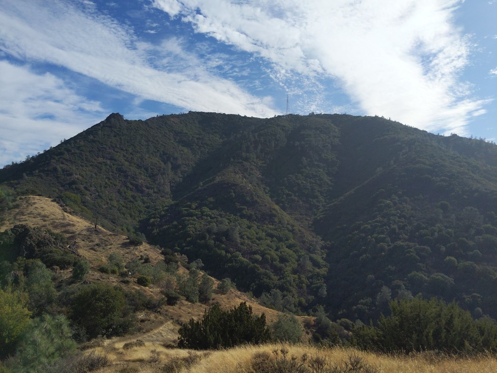
The trail winds around and goes to the backside of Diablo
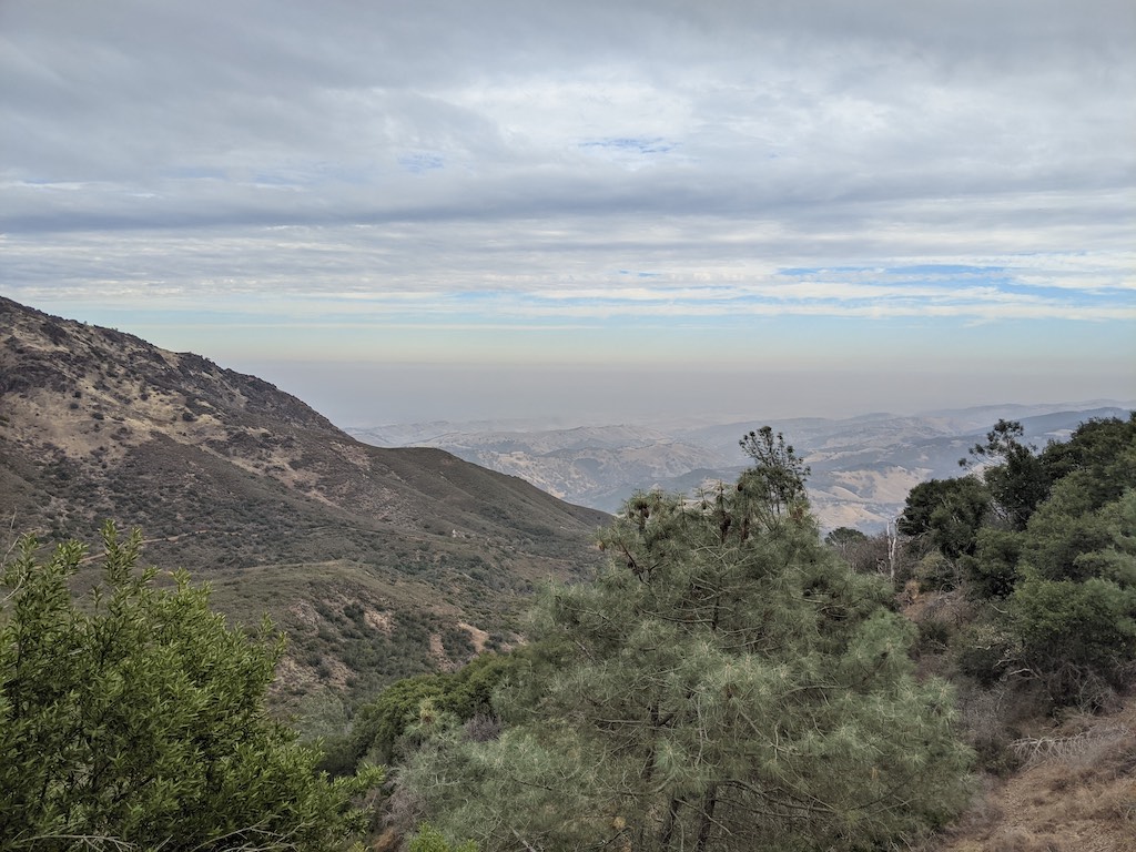
Backside views 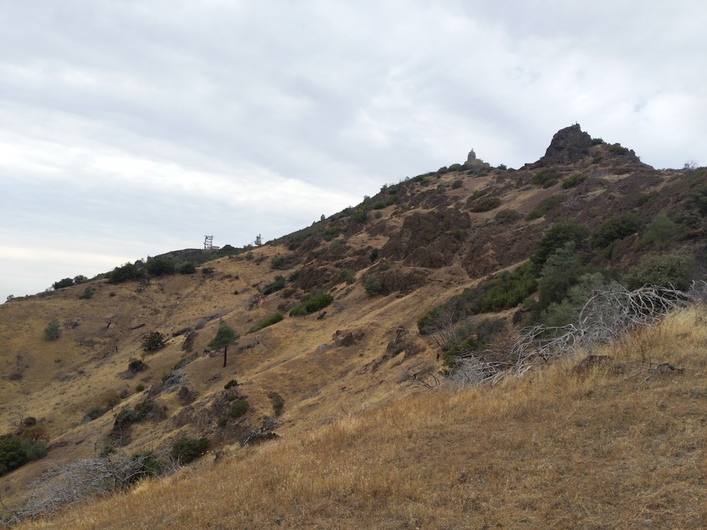
Backside view of the summit
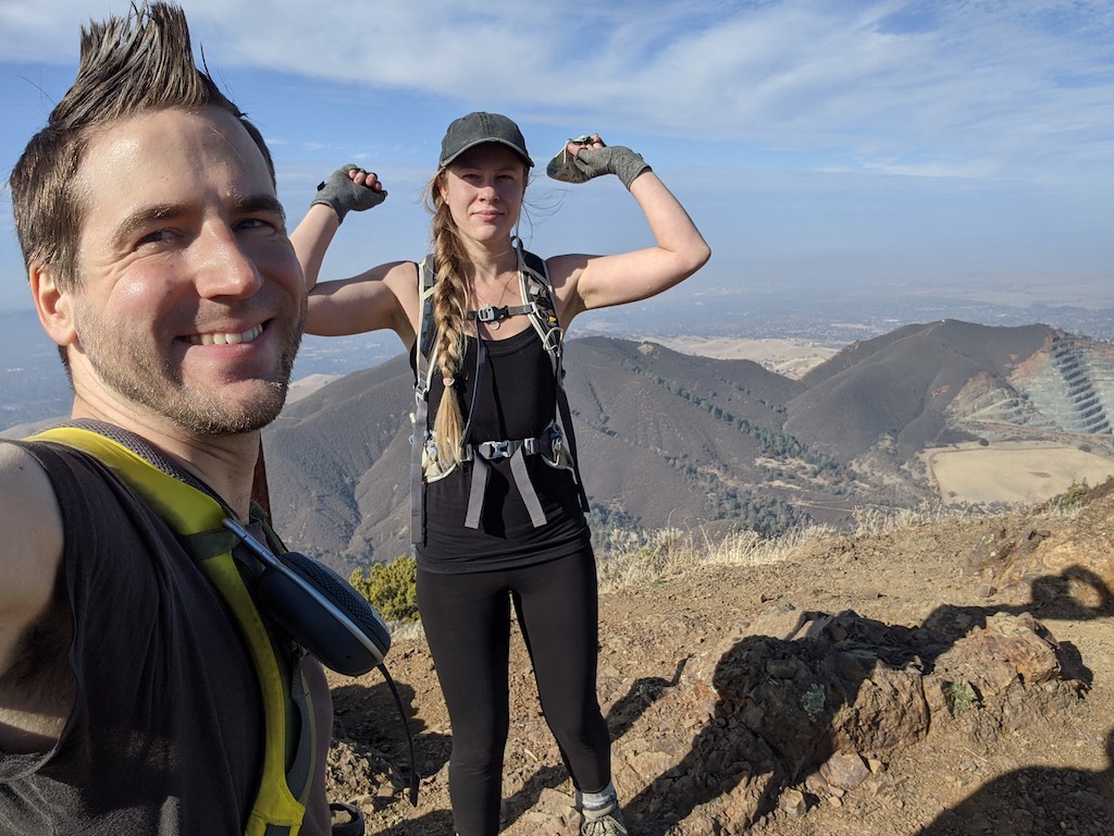
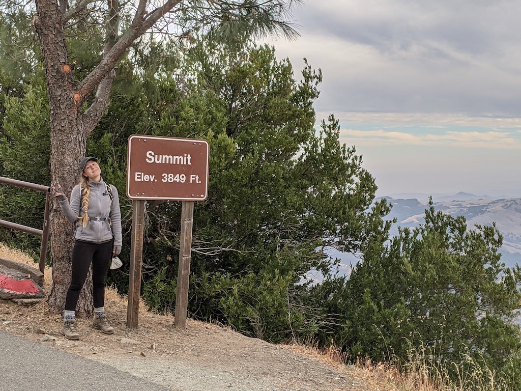
Finally, we made it to the summit parking lot. From there we joined a groups of hikers on a paved half mile trail to the summit…I’ll never forget Emily’s expression when she saw the summit sign with the elevation! After shuffling along the hike, completely out of energy, she RAN to the summit sign and excitedly squealed that I take her photo! She doesn’t like photos, but she asked me to take more and more, getting her in all sorts of poses. She then left the sign and RAN to the observation deck and continued to tell me all sorts of photos I HAD to take, photos she never would’ve wanted me to take if we hadn’t just survived a grueling 7 miles of incline, haha!
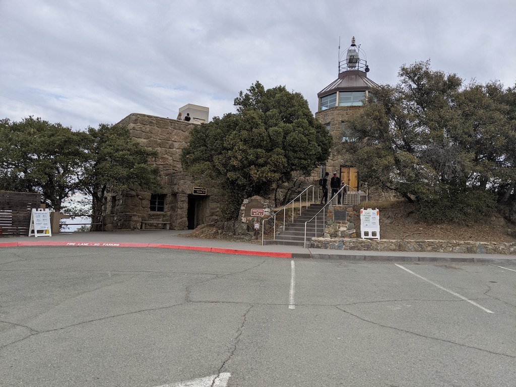
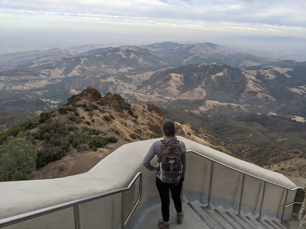
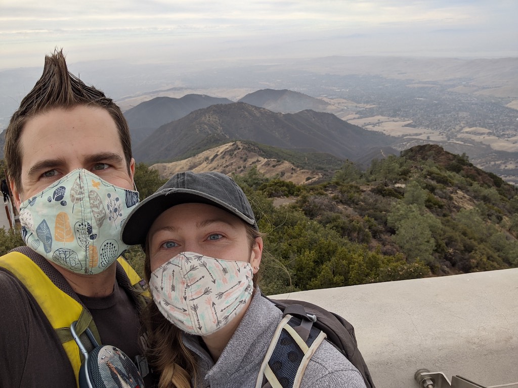
Needless to say, the summit provided us an extra jolt of energy and we were proud that we reached the top. The top of Diablo is pretty cool, it has an old observation tower and a water fountain. The summit parking lot, just a half mile away, is huge and also has water fountains, picnic pavilions, restrooms, and tons of trails exploring different sides of Mt. Diablo.
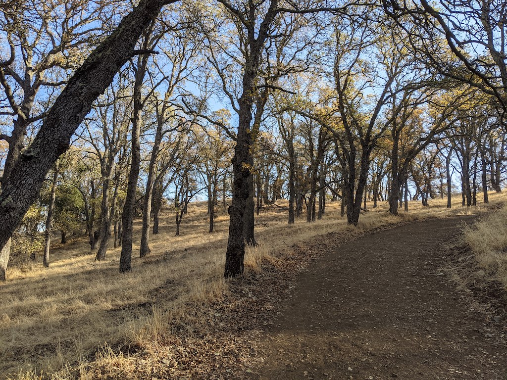
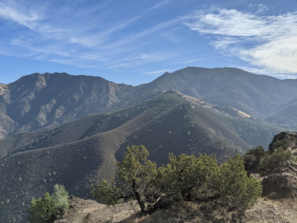
We made our way down from the summit and took a trail out of the main parking lot. It quickly turned into a fire road and stayed that way for 6-7 miles until we reached our parking lot. Along the way we were treated to a variety of sweeping views and a beautiful sunset. When the trail wound its way into a gulch, we were amazed as we stared up at the bare ridge we had hiked along near Eagle’s Peak…WOW, we were WAY up there! We also passed several picnic areas and and a few beautiful areas where fall was clearly present.
Looking towards the parking lot 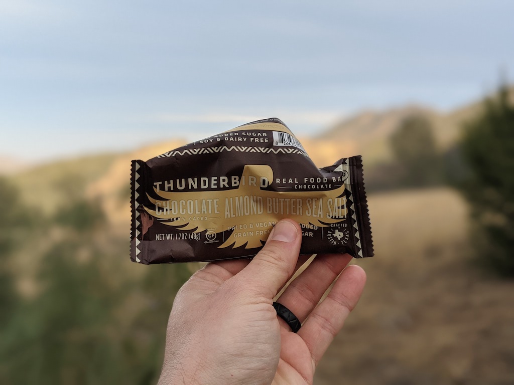
Thunderbird snack break

Foggy Sunset
Emily kept me going, even though my ankle was killing me, and we slowly made our way back to the Mitchell Canyon Parking Lot. We lost the sun about 30 minutes before we finished the hike and ended the day with tired bodies and a great sense of accomplishment. Definitely check out this hike if you want a workout and some one-of-a-kind bay area views.
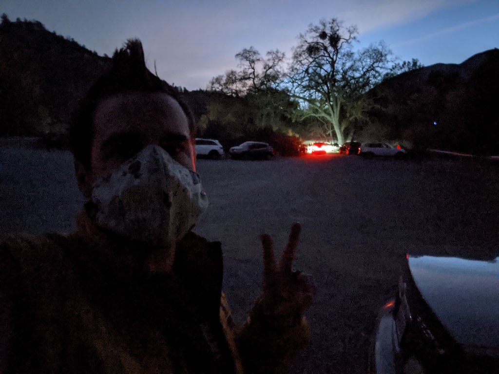
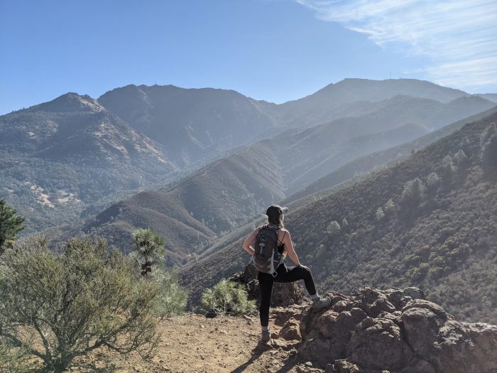
Sense of accomplishment 🙂