
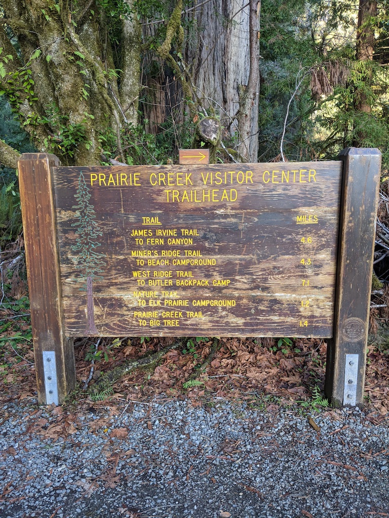
Trail Name: James Irvine Trail to Miner’s Ridge Loop
Date Hiked: 11/27/20
Area: Redwood National and State Parks
Mileage: 13.0 total
Elevation Gain: 1614 ft
NOTE: This.is.the.trail! When you look up Redwood National & State Parks you’ll see tons of blogposts about Redwood Creek and the great backpacking experience it provides. You’ll also see notes about Tall Tree Grove and how to obtain a permit for that. However, if you’re looking for one of the best day hikes in the area, look no further than the James Irvine trail.
It traverses a glorious redwood environment, ends in fan-favorite Fern Canyon (of Jurassic Park fame), and can be completed as a loop with Miner’s Ridge (AllTrails above). We absolutely loved this trail, it was the highlight of our November 2020 Redwood trip and we would hike it again in a second.
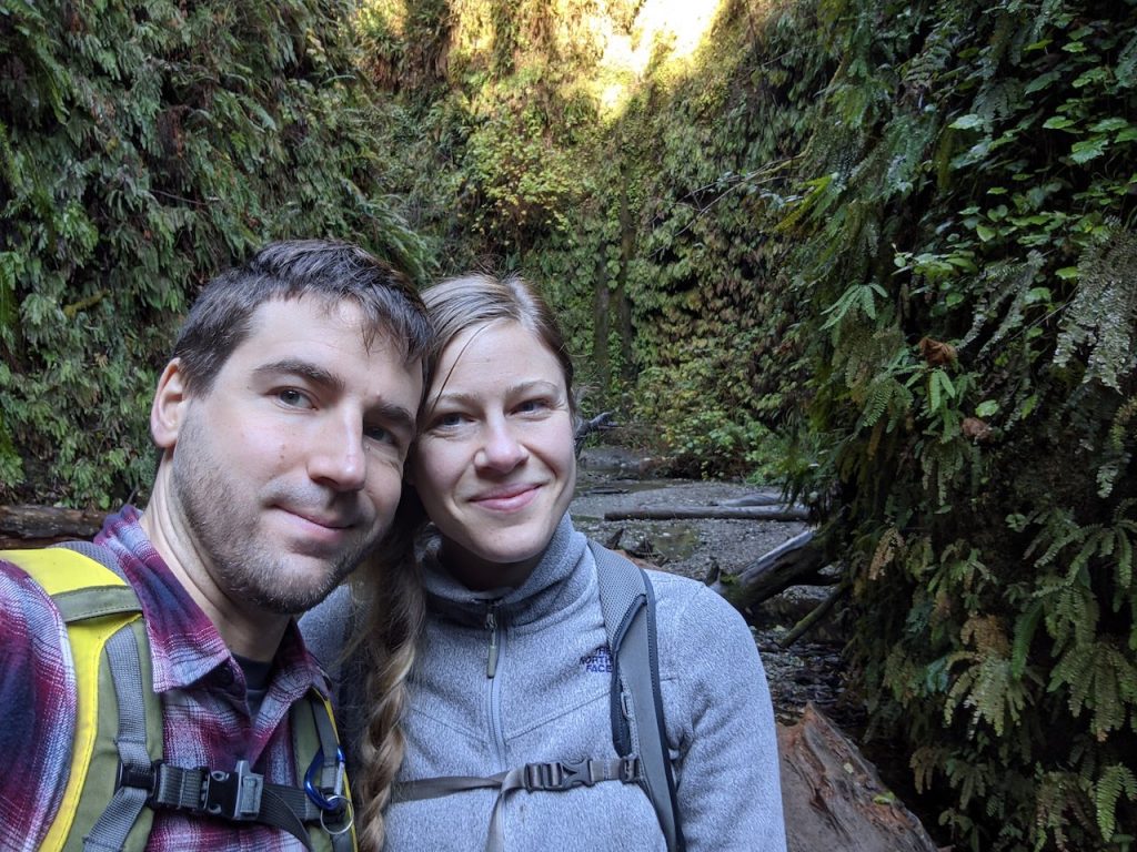
It Begins!
When you begin the trail, you’ll likely be accompanied by many of your closest friends as this trail is heavily trafficked. The road to Fern Canyon is a bit rough and requires drivers to ford several creek crossings along the way, so many people opt for this hike instead to get to the canyon. Don’t worry though, they’re usually headed to Fern Canyon in an out-and-back trail, but since you’re walking down the beach to Miner’s Ridge, the traffic will thin out mightily for the second half of your loop. Oh yeah, ignore the title in AllTrails (Miner’s Ridge to James Irvine Trail), most folks opt to go counter-clockwise and take the James Irvine Trail to Fern Canyon to the Beach to Miner’s Ridge. We’re not quite sure why AllTrails lists the title backwards.
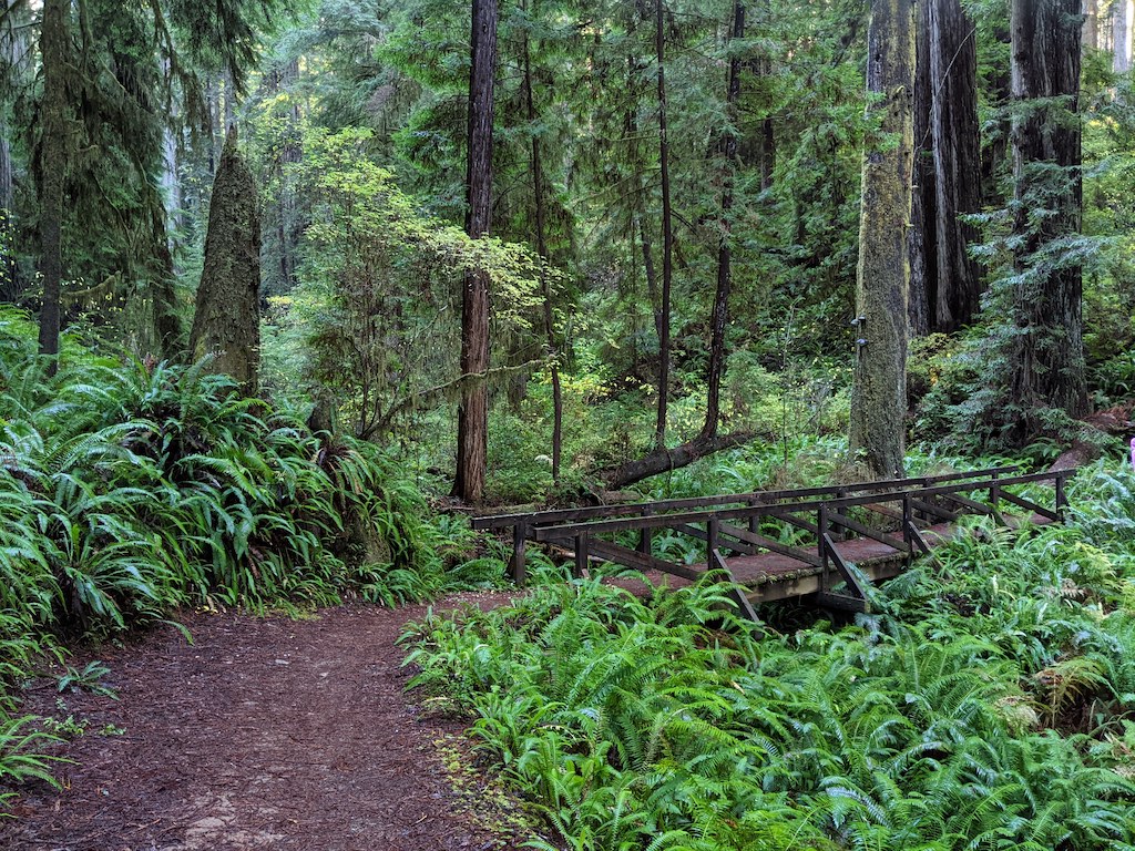
The signage from the beginning of the trail can be a bit tricky, there are a lot of separate side trails that connect to the James Irvine Trail, and Miner’s Ridge criss crosses the trail several times. Just continue to follow the signs for James Irvine/Fern Canyon and know that eventually you’ll be taking a right when the trails last split.
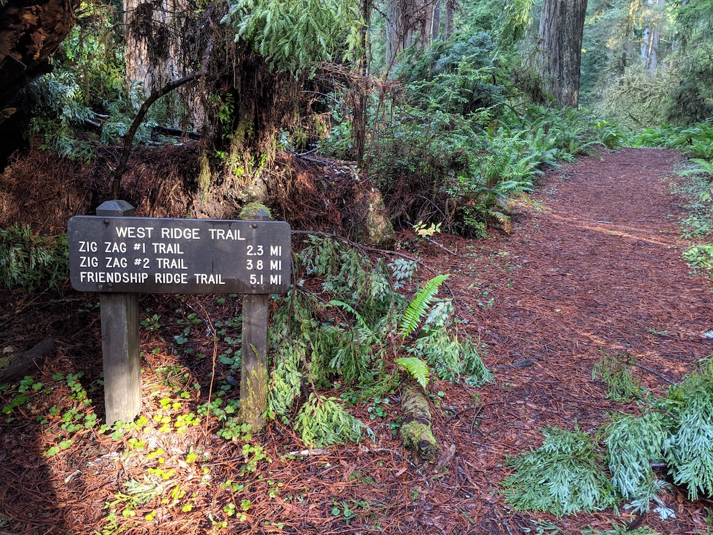
Side trails 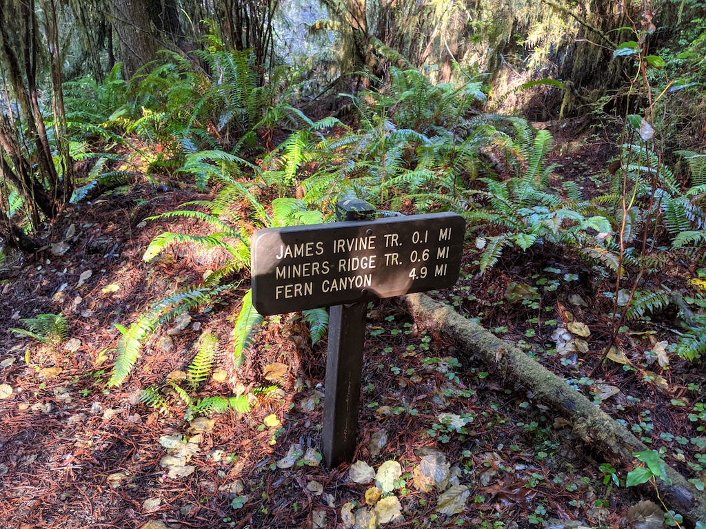
This way! 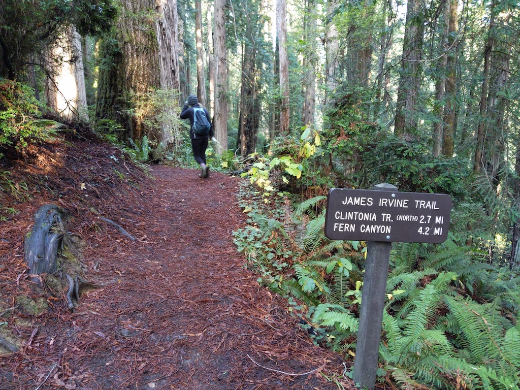
Keep Going!
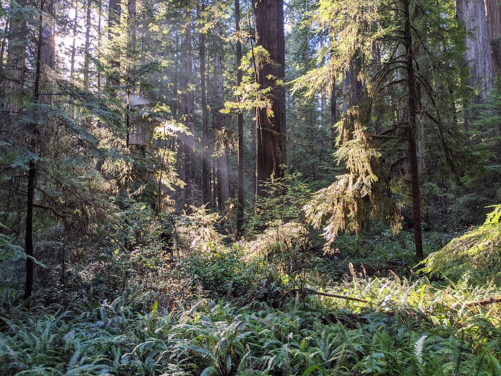
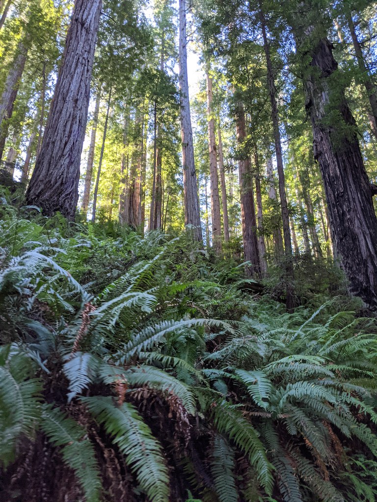
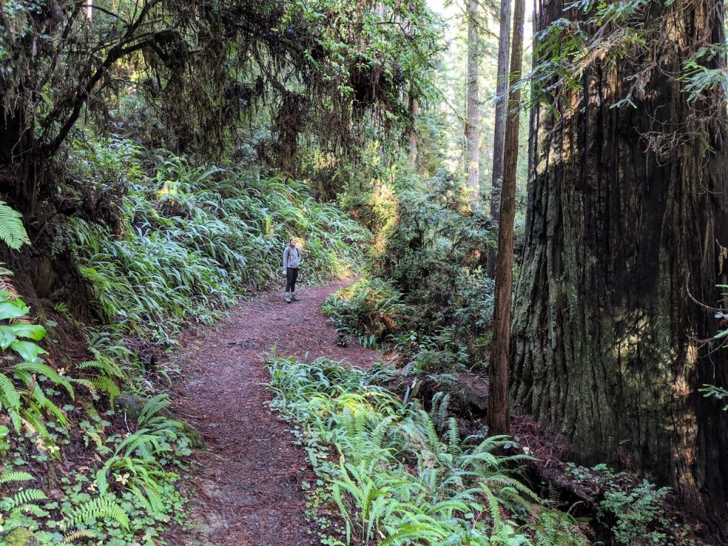
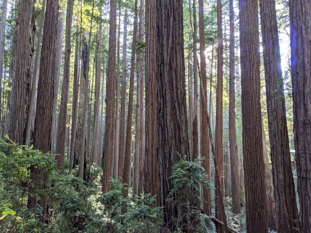
From the beginning of the hike, the redwoods are massive and the forest is covered in ferns and moss. It’s an other-wordly forest landscape that just goes on as far as you can see. There’s something really special about being in a forest this dense with such massive trees. It’s very different from hiking in the Sierras and coming up on a breathtaking mountain view, but still so awe-inspiring. I’m so happy areas like this are protected, as it’s a shame that we have already logged so many 🙁
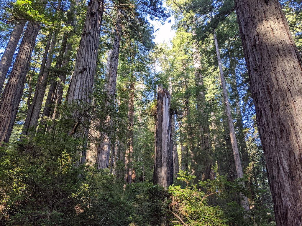
As you navigate the web of trails, you’ll be making your way uphill and finding yourself on the side of a ridge with gigantic redwoods on the hill above and below you. Don’t forget to stop and savor them along the way.
The trail finally curves right (north) about two miles in and descends the ridge into the creek watershed. The trail then meanders through the watershed for about three and a half miles, adding a bit of variety to the landscape as the redwoods remain, but seem to decrease a bit in size. It’s really relaxing to follow the creek during this mostly flat section of the trail, where we really started to hear some of the wildlife.
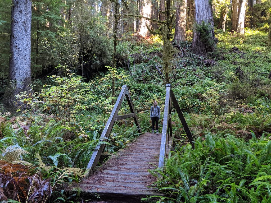
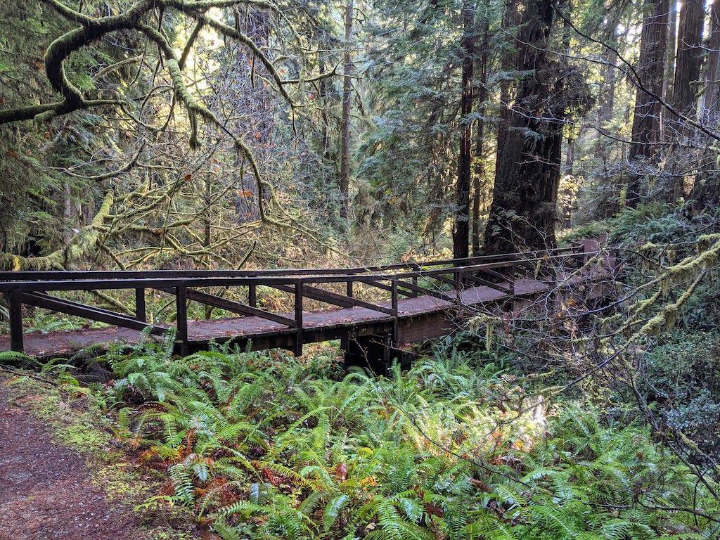
Cool triangle bridge in the creek watershed. You’re getting close to Fern Canyon!
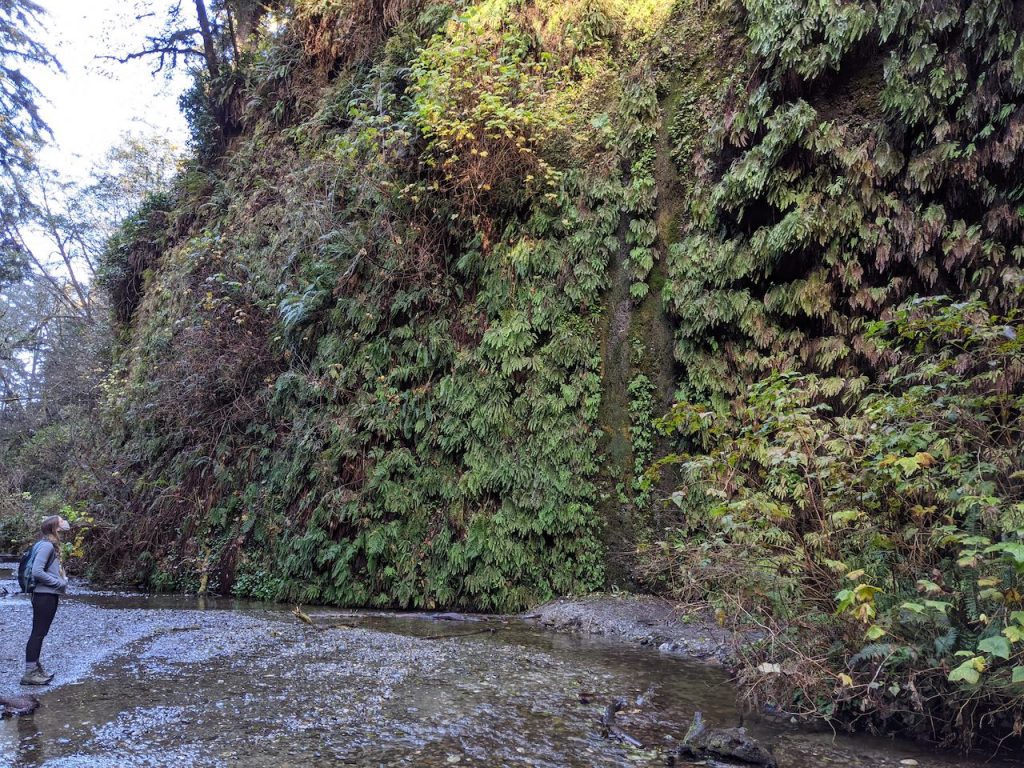
Although the trail remains fairly flat until the descent into Fern Canyon, after you reach the triangle bridge shown above, you’ll start to notice that the bottom of the creek begins to drop and a series of canyons (50-75ft deep) form below you. This distinctive change in the creek adds a lot of anticipatory excitement to the hike, as you know you’re close to the famous Fern Canyon!
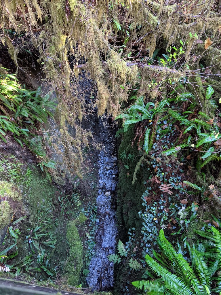
It’s hard to tell but the creek shown here is about 75ft below and there’s a small waterfall on the right obscured by foliage. The bridge we are on has a special memorial on it.
Soon you are faced with a trail intersection, you can turn left to go down into Fern Canyon or right to walk along the ridge of the canyon to the other end. We suggest going straight down into the canyon, as 1) it’s gorgeous, and 2) we’ve heard that the trail along the ridge doesn’t offer any cool views into the canyon. California Through My Lens does a great job of showing both the canyon and ridge trail.
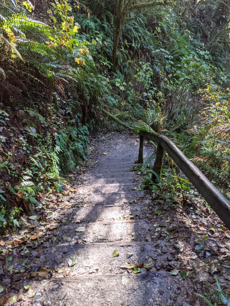
The steps down into Fern Canyon.
Once in the canyon, head down stream. When we were there, the waterflow was ankle deep and we were fine walking through the stream with water resistant boots. We saw others wearing tennis shoes and rock-hopping down the canyon, although if the water level had been higher I don’t think that would’ve worked.
Within a minute of heading down stream you’ll pass a big downed tree that you need to scramble over. Once you do that, you’re in the main section of Fern Canyon. You’ll likely see TONS of people that are just doing the one mile hike through the canyon, so if you’re anything like us you’ll snap some quick photos and get back to the more secluded part of the hike. There is a reason areas like this become tourist hot spots – they’re gorgeous! You can definitely see that, it’s just hard to take in and enjoy it with tons of folks running around you snapping photos and stepping on plants. We saw plenty of professional photo shoots happening in Fern Canyon and everyone was trying to take a photo without people in it – which was quite difficult.
There are tons of people behind us, but we covered them up !
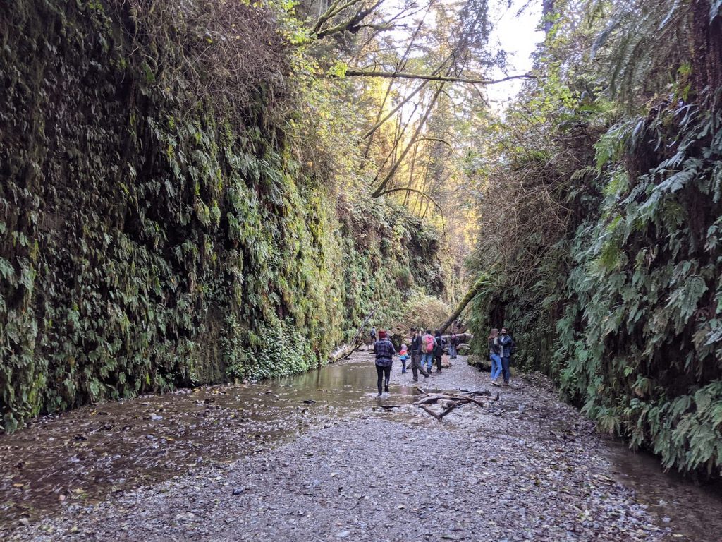
People everywhere!
After we quickly walked through the canyon it was out to the coast. Once you leave the canyon the landscape changes quickly to coastal trees and almost a kind of marshland experience. You’ll reach the parking lots within five minutes and there’s a pit toilet available. Exit toward the beach and make use of the picnic tables if you want a quick lunch break. We walked a little further out to the ocean and had lunch as we marveled at the coastal beauty of the area.
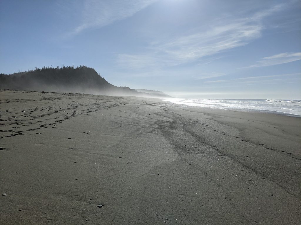
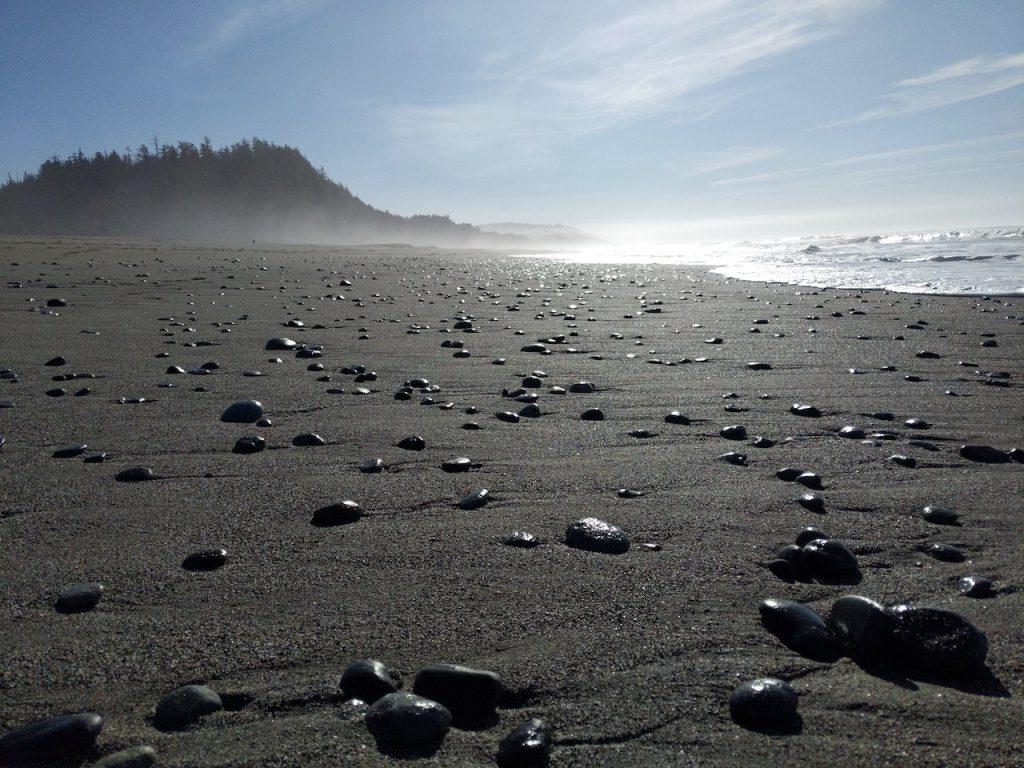
The beach is gorgeous, it has that wild Oregon vibe.
After a quick lunch, we slogged a mile down the beach, sinking in deeply with each step…it was a tiring, but gorgeous mile.
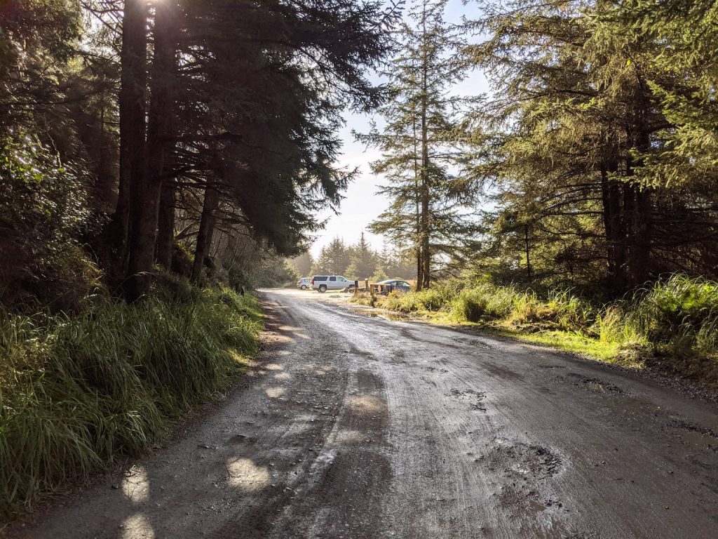
When we reached Gold Bluffs campground we happily walked back toward the forest, cut through the campground and made it to the Miner’s Ridge trailhead.
Looking back at Gold Bluffs Campground
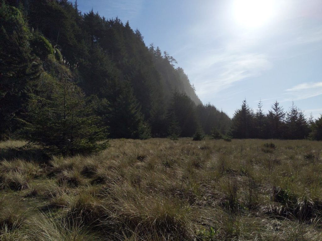
The trail immediately ascended into a pine(?) forest, which added some great variety to this section of the trail. The pines(?) were massive, tall, and filtered the afternoon light for some amazing shots.
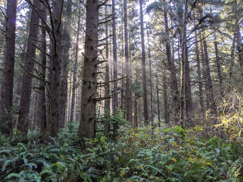
Eventually the forest shifts back into the same wondrous eco-system that you experienced on the James Irvine trail, which we just never got tired of. The redwoods were massive, ferns covered everything, and the forest just looked so moist and lush.
This section of the trail adds some uphill to the hike, as you climb the ridge, but the forest offers some beautiful scenery for any breaks you need to take. You eventually wind your way back to the start of the James Irvine trail and end at the Prairie Creek Visitor Center.
We really can’t recommend this hike enough, the variety, the redwoods, the ferns, the creek, and the lush forest make this trail a can’t miss. Although it doesn’t really have any majestic mountain views, this is one of our favorite trails (if not the favorite) that we have been on. Don’t miss this trail if you’re in the area!

